By Grey Matter Ops™ | Red Dot Mindset™ | Tactical Tuesday
Why It Matters
The urban environment is full of hidden risks. Among the most dangerous are choke points — areas where movement compresses, vision narrows, and escape options disappear. From stairwells and corridors to crowded subway platforms, choke points amplify vulnerability and shape how awareness must adapt.
Mastering choke point awareness isn’t about fear — it’s about environmental control. When you learn to recognize, read, and navigate these zones, you turn confined terrain into controlled space.
Understanding Choke Points
A choke point is any physical feature that restricts movement through a narrow space and limits lateral options. In tactical terms, these are known as funnel zones — areas where paths converge and freedom of movement declines. In daily life, they appear everywhere:
Parking garages: Stairwells, elevators, blind corners, and low-light walkways.
Doorways and entryways: Single access points that slow flow and increase predictability.
Stairwells: Confined vertical spaces with poor visibility and limited retreat paths.
Hallways and corridors: Linear movement zones where options collapse into forward or reverse.
Elevators: Total containment with no egress.
Transit hubs: Crowded checkpoints and platforms that function as density-based choke points.
➡️ To expand beyond single-location awareness and learn how terrain, light, and sound define your tactical advantage, read our full companion post:
Environmental Geometry Framework™ — Reading the Terrain Before Trouble Starts
Why Choke Points Are High-Risk
Choke points heighten danger by combining restricted movement with predictable flow — two elements that remove initiative.
Four primary risks:
1️⃣ Limited egress: Reduced escape options slow reaction time.
2️⃣ Density: Crowds compress, increasing confusion and obstruction.
3️⃣ Reduced situational awareness: Focus narrows to navigation rather than observation.
4️⃣ Predictability: Attackers can exploit fixed entry paths and human traffic flow.
These dynamics are why understanding environmental geometry is critical — attackers don’t choose spaces randomly; they choose them tactically.
Tactical Case Studies
Westgate Mall, Nairobi (2013)
Attackers controlled entry choke points and forced civilians into confined movement paths.
Lesson: Identify multiple exits and note secondary corridors before entering large venues.
London Bridge Attack (2017)
The bridge acted as a linear funnel zone — high density, zero lateral movement.
Lesson: In open-air choke points like bridges or markets, identify side access routes before entry.
Brussels Airport Bombing (2016)
Attackers targeted the natural chokepoint — the security queue.
Lesson: Stay near edges of lines, observe crowd compression, and avoid peak density when possible.
Munich Olympics Massacre (1972)
Assailants exploited narrow residential passages to isolate victims.
Lesson: Terrain defines opportunity. Even “safe” areas can conceal control points.
Tactical Awareness in Motion
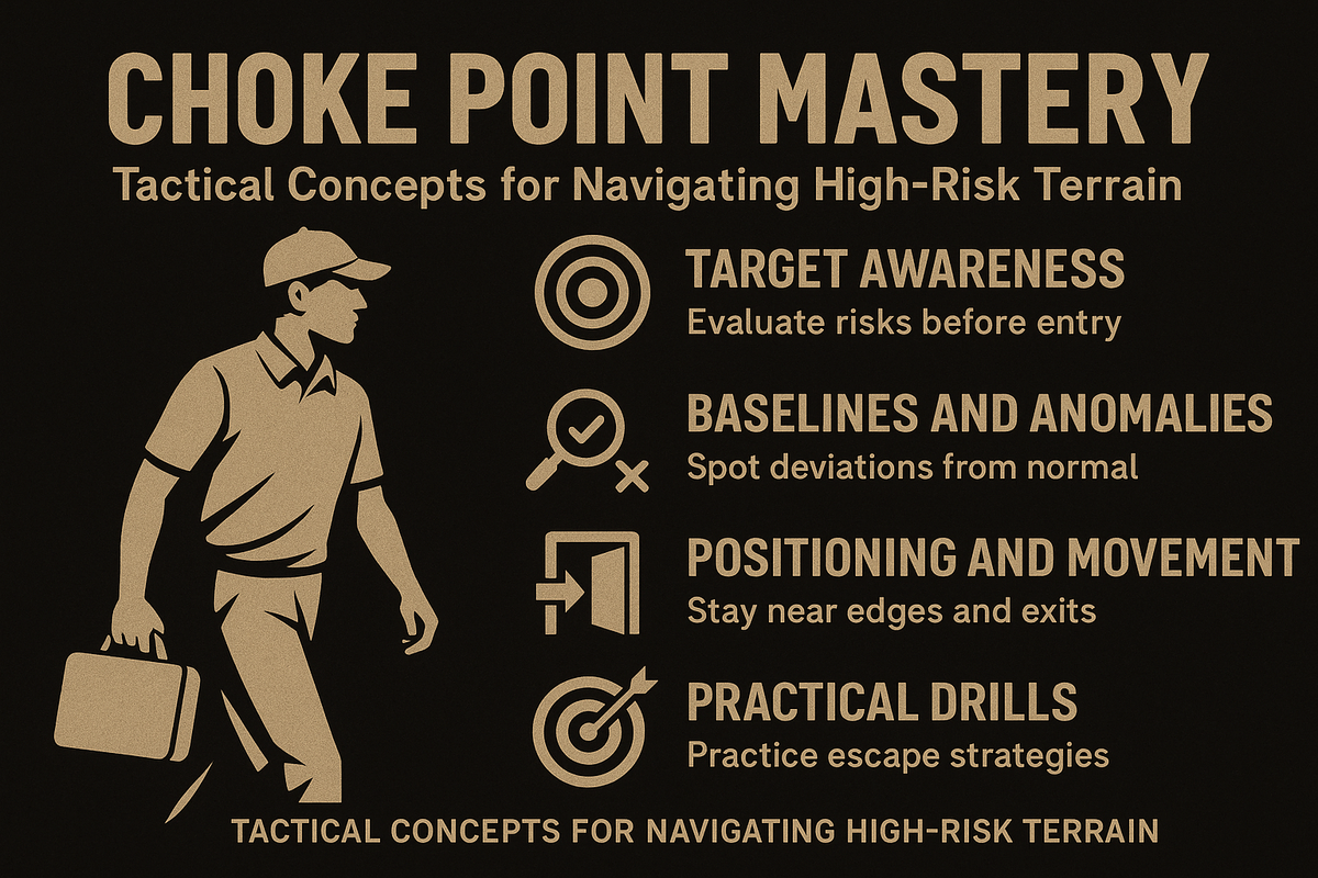
🧭 The Target Awareness Blueprint™
Your decision cycle starts with scanning the environment — evaluating both human and structural geometry.
Scan → Assess → Balance risk → Act.
Scan: Where are the exits? What’s the lighting? Who’s near them?
Assess: Is density rising? Are there side routes or blind corners?
Balance: Is entry worth it, or can you wait?
Act: Move early, not urgently.
Baselines and Anomalies
Effective awareness begins with recognizing what’s normal for the environment you’re in.
Baseline: Steady crowd flow, routine body language, normal sound levels.
Anomalies: Loitering near exits, erratic pacing, blocked corridors, or abrupt crowd pauses.
Every anomaly is a signal — an environmental deviation requiring recalibration.
Evaluating Choke Point Risk
High Risk Medium Risk Low Risk |
|---|
Group and Family Coordination
Team awareness amplifies safety.
Formation: Front and rear leads; keep vulnerable members between.
Spacing: Maintain movement gaps without isolation.
Communication: Establish clear short commands (“Exit left”, “Hold position”).
Separation Plan: Identify rally points before entering any choke-prone space.
Environmental Considerations
Lighting: Poor light conceals anomalies; adjust or supplement as needed.
Sound: Loud noise reduces auditory awareness — rely more on visual scanning.
Weather: Rain and heat slow movement and increase congestion.
Technology: Phones distract; pre-plan navigation or communication before entry.
Crowd Dynamics
In a panic, crowds default to familiar exits, even if they’re not optimal.
Move diagonally toward outer edges.
Follow structural guides (walls, railings).
Avoid dense central flows and maintain direction toward open ground.
Drills for Preparedness
Exit ID Drill: Identify two exits within 30 seconds.
Flow Observation: Track movement density and where it compresses.
Choke Point Walks: Identify and mentally map choke zones on daily routes.
Family Rally Drills: Teach children where to meet if separated.
These small, repeatable habits build environmental fluency — the ability to read terrain before trouble starts.
The Key Takeaway
Choke points are a natural part of modern infrastructure — you can’t avoid them, but you can understand and use them.
Recognizing how environments compress movement is the first layer of spatial awareness.
When combined with the Environmental Geometry Framework™, you gain a full-spectrum understanding of terrain, light, sound, and geometry — the foundation of R.A.D.A.R.™-based awareness.
🎯 Next Steps
Explore the Environmental Geometry Framework™ to understand terrain as part of total awareness.
Download the R.A.D.A.R.™ Quick Reference Card at reddotmindset.com/radar
Listen to Tactical Tuesday episodes on the Red Dot Mindset Podcast
Train the Mind. Win the Fight.
⚠️ Notice
This content is for educational and situational awareness purposes only.
Grey Matter Ops™ does not provide legal, medical, or psychological advice.
Always follow local laws and seek professional guidance when appropriate.
Remember: Awareness is Armour. For more tactical insights, subscribe to Red Dot Mindset.